Beaches in Watchet, Somerset
- Watchet beaches map
- The beaches:
- Watchet
- Helwell Bay
- Doniford
- St Audries Bay
The beach guide has 4 beaches listed in and around the town of Watchet. We have arranged these beaches in order of closest to the town first (distance in brackets).
-
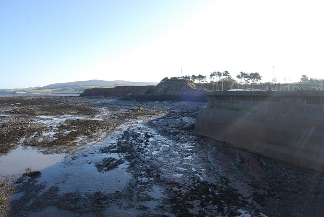
Watchet Beach (0.1 miles)

Below the cliffs of the harbour town of Watchet, low tide exposes a vast flat, rocky area, which then disappears once more as the tide comes in. The cliffs here are famous for their abundance of fossils and ammonites, particularly on the stretch between Watchet and Blue Anchor. Local fossil finds are on display in…
-
Helwell Bay (0.2 miles)
Backing onto the Doniford Halt station of the West Somerset Railway and overlooked by the Quantock Hills there is no arguing that Hellwell Bay has a lovely setting. Unfortunately the beach itself doesn\'t really live up to this. Mostly rock there is a patch of muddy sand to the eastern end of the beach. With…
-
-
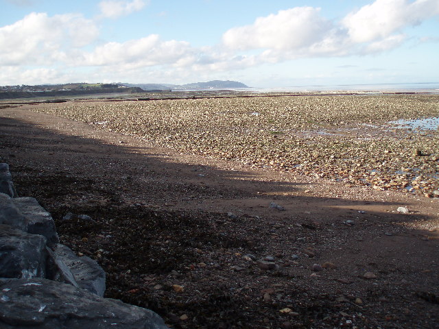
Doniford Beach (1 miles)
Doniford is a mud and sand beach with plenty of rocks and rock pools containing numerous fossils.
All facilities in the village and a well-hidden car park right by the beach. Just after Doniford Farm Park on your right
The beach can also be accessed from Watchet at low tide.
-
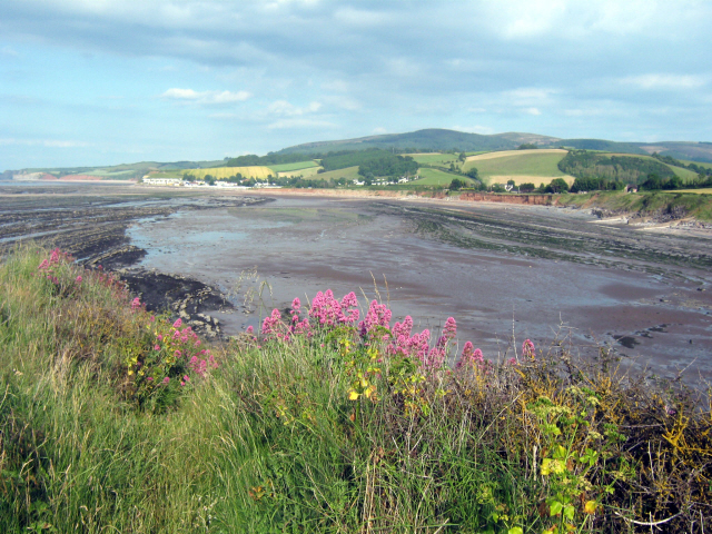
St Audries Bay (2.1 miles)
Set at the foot of the Quantock Hills is the wide bay of St Audries. A mix of flat pebbles, sand, shingle and rock this is one of the best beaches in the area. As with all the beaches on this stretch of coast the sand gets muddier towards the sea and the waters of…