Beaches in Cromer, Norfolk
Cromer is a traditional seaside town located in the north of Norfolk; the town is perched on a cliff top overlooking two sandy blue flag beaches. Two long distance pathways end in the town; the Norfolk Coast Path and the Weavers' Way. read more...
- Cromer beaches map
- About Cromer
- The beaches:
- Cromer
- East Runton
- West Runton
- Overstrand
The beach guide has 4 beaches listed in and around the town of Cromer. We have arranged these beaches in order of closest to the town first (distance in brackets).
-
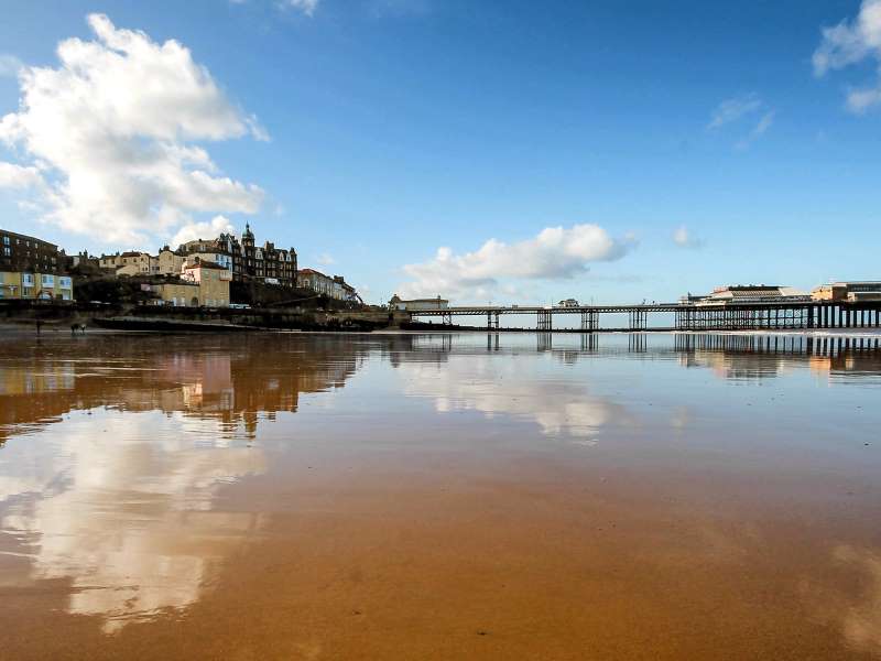
Cromer Beach (0.2 miles)

Cromer is a traditional Victorian seaside resort, with a wide sand and shingle beach popular for swimming and surfing. Many of the buildings in the town date back to the Victorian era, although the town has expanded rapidly in the last fifty years.
Cromer originated as a fishing community and is still famous for its…
East Runton Beach (1 miles)

Situated right next door to the well known Norfolk seaside resort of Cromer, with its Victorian pier and esplanade, is East Runton beach. Despite their proximity these are two very different beaches.
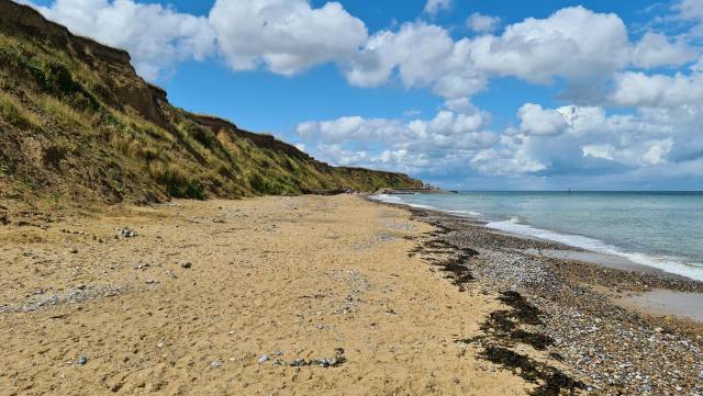
East Runton is a long, sandy beach backed by sloping sandstone cliffs and countryside beyond. You can glimpse Cromer's pier in the distance, and…
West Runton Beach (2 miles)

Situated between the towns of Sheringham and Cromer the lovely sands of West Runton are often overlooked - which is nice!
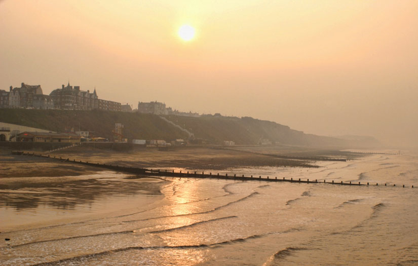
Towards the high tide mark the beach is quite shingley, but as the tide goes out a large expanse of fine sand is revealed, along with numerous rockpools.
Beyond the sandstone cliffs are the fields of…
Overstrand Beach (2.2 miles)

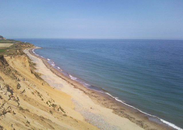
Overstrand is located to the south east of the town of Cromer. The beach is wide and sandy during low tide, perfect for building sandcastles or relaxing in the sunshine, but at high tide the water comes all the way back to the sea wall. It is therefore advisable to check tide tables before visiting.…
Cromer beaches map
Map featuring Cromer beaches. Click on pins to view beach detailsAbout Cromer
Cromer is a traditional seaside town located in the north of Norfolk; the town is perched on a cliff top overlooking two sandy blue flag beaches. Two long distance pathways end in the town; the Norfolk Coast Path and the Weavers' Way.

Dominating the town is the church of St Peter and St Paul boasting magnificent stained glass windows and a tower which soars 160 feet over Cromer - the tallest in Norfolk. The streets of Cromer are a maze of lanes and alleyways filled with independent shops, restaurants and cafes, many of which sell the famous Cromer crabs which the town is renown for.
As with many seaside resorts, Cromer became popular with affluent visitors during the Victorian and Edwardian eras coinciding with the arrival of the railway in 1877. An additional boost to tourism in the resort stemmed from the future King, Edward VII, regularly playing golf in the town. This was when much of the town was built including many of the grand hotels along the seafront such as the Hotel de Paris which was built in 1820 and converted into a hotel in 1830 To this day it remains as a hotel with its imposing elevated position overlooking the pier. Cromer Pier was also built during this time and is home to the Pavilion Theatre which stages various shows and events.
Local points of interest include Cromer Museum, which tells the story of the town's fishing and seaside history, and the nearby 17th century National Trust owned Felbrigg Hall with its parklands. Other popular attractions include the South American themed Amazona Zoo that covers 10 acres with various animals including moneys, jaguars and flamingos.
Every year in August the Cromer Carnival takes place over a week and includes various events including a parade with floats and displays by the Red Arrows over the seafront.


