Beaches in South Shields, Tyne And Wear
The beach guide has 5 beaches listed in and around the town of South Shields. We have arranged these beaches in order of closest to the town first (distance in brackets).
-
Sandhaven Beach (1 miles)

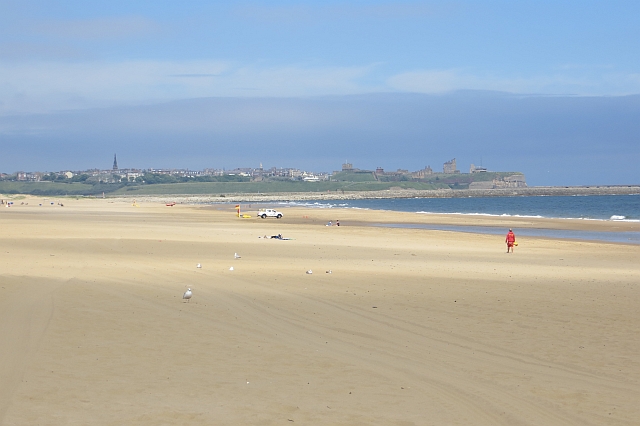
Sandhaven is a long sandy beach lined with impressive sand dunes, located in South Shields, just south of the South Pier. The South Tyneside Heritage Trail crosses the beach. Birdwatching, surfing and windsurfing.
-
King Edwards Bay (Tynemouth) (2 miles)

King Edward's Bay in Tynemouth is sandy, pleasant, and even comes with a resident ghost. The small beach is enclosed by grassy banks and cliffs. From the sand, the ruins of Tynemouth Priory and Castle are visible; this site is managed by English Heritage. The Priory ghost is a Viking called Olaf, who…
Longsands Beach (2.3 miles)

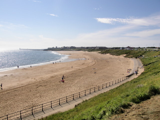
Half a mile of golden sand in an urban setting, Long Sands offers a range of activities, including surfing and swimming.
Accessible at both ends via an access road and steps from the seafront. A ten minute walk from both Cullercoats metro station to the north and Tynemouth metro station to the south.
The beach is…
Long Sands North Beach (2.7 miles)

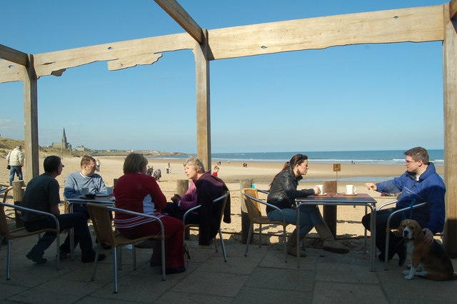
The northern end of Long Sands beach is a stunning stretch of golden sand, backed by low dunes. In summer it is one of the most popular spots on the North East coast. People come from far and wide to build sand castles, sunbathe or splash about in the clean waters.
In winter it is an…
Cullercoats Beach (3 miles)

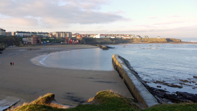
Cullercoats is a small, sandy, crescent-shaped beach, taking up most of Cullercoats Bay, which is enclosed at each end by small piers. At high tide the bay divides into two distinct North and South beaches. The bay has had a thriving fishing industry for hundreds of years, and the southern end is still used for…
South Shields beaches map
Map featuring South Shields beaches. Click on pins to view beach details


