Beaches in Ashington, Northumberland
The beach guide has 9 beaches listed in and around the town of Ashington. We have arranged these beaches in order of closest to the town first (distance in brackets).
-
Newbiggin - South Beach (2.1 miles)

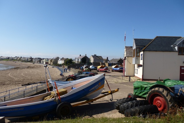
Newbiggin, which was once a thriving mining and fishing town, lies on the Northumberland coast, to the east of Ashington. The town, which still has a fleet of small, traditional fishing boats, features a curved bay, the southern end of which is known at South Beach. The sandy beach is backed by rocky sea defences…
-
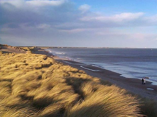
Newbiggin - North Beach (2.5 miles)
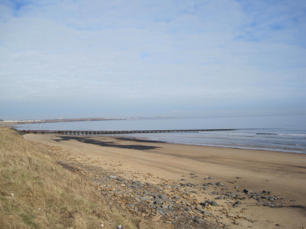
Newbiggin-by-the-Sea is a small seaside town, just up the coast from Newcastle. It has a long association with mining and fishing and today the town still has its own fleet of traditional small fishing vessels. The town is also home to a newly developed promenade to which birdwatchers flock in spring and autumn to watch…
-
-
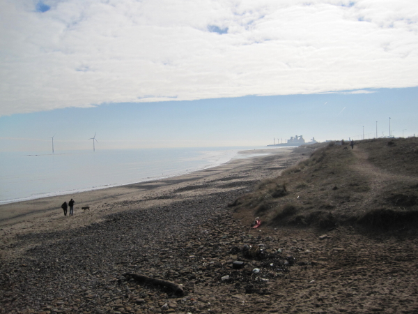
Cambois - North Beach (2.5 miles)
Cambois North Beach is part of the long stretch of sand, backed by rocks and grassy dunes between the River Wansbeck estuary to the north and Blyth Harbour to the south. The beach is used by walkers, anglers and the occasional surfer. There have been reports of litter and debris washed up along this stretch…
-
Cresswell Beach (4.1 miles)
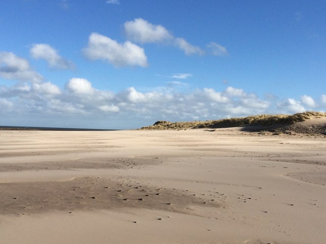
Set on the southern edge of Druridge Bay is Cresswell beach. The sandy beach here is one of the best on the Northumberland coast. The gently sloping sand is backed by extensive sand dunes and can seem to go on forever at low tide. At this state of tide there are also a few rocky…
-
Druridge Bay (4.1 miles)
Druridge Bay is the seven-mile long stretch of coastline, backed by an extensive dune system, between Amble in the north and Creswell in the south. This beach forms the section at the southern end of the bay, closest to Cresswell. The Blackemoor Burn runs into the sea here, from a body of water, which attracts…
-
Druridge Bay (5.4 miles)
Druridge Bay is a 7-mile stretch of golden sandy shoreline, backed by grassy dunes. The beach here runs south from Amble, all the way down to Cresswell. Along this part of the coast, which curves gently around a wide bay, are the remains of pill-boxes and anti-tank blocks, being the remnants of defences placed here…
-
-
Cambois - South Beach (3.4 miles)
This forms the southern end of the long stretch of sand running north from Blyth Harbour to the River Wansbeck estuary. A small rocky island known as The Rockers lies just opposite the area of beach backed by Blyth Harbour. Until the local colliery closed in 1968 the main industry here was coal mining. Remnants…
-
Druridge Bay (6.6 miles)
This beach forms part of a 7-mile long stretch of sandy coastline which curves gently round Druridge Bay, and is the part of the bay closest to the seaside village of Amble with its harbour, restaurants and "shopping pods". In spring and summer, the dunes backing the beach provide ideal conditions for some interesting wild…
-
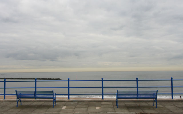
Blyth Beach (5.8 miles)
Blyth South is a long, wide, golden stretch of sandy beach, backed by a system of sand dunes which are a haven for wildlife and a designated area of Special Nature Conservation. When it comes to activities, visitors are also well catered for at Blyth South. Bathing is a popular pastime here in the summer,…