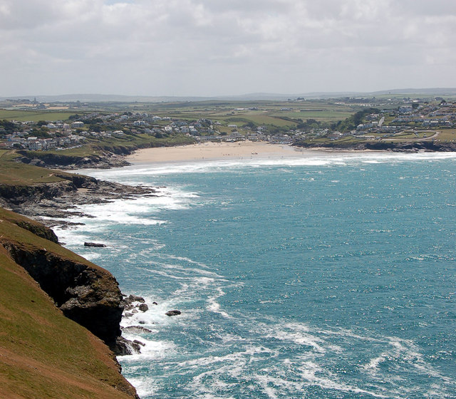
Beaches in Padstow, Cornwall
- Padstow beaches map
- The beaches:
- Padstow
- Rock
- Daymer Bay
- Trevone Bay
- Greenaway Beach
- Polzeath
The beach guide has 6 beaches listed in and around the town of Padstow. We have arranged these beaches in order of closest to the town first (distance in brackets).
-
Padstow Beach (0.6 miles)

Padstow used to be a thriving fishing port. Now it is a typical picturesque Cornish village with narrow streets and pastel white-washed walls, geared mainly for tourism. It is set on the Camel estuary with extensive areas of sheltered sand.
-
Rock Beach (0.8 miles)

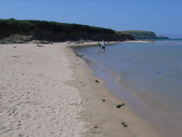
Rock is a long, sandy beach on the east side of the Camel estuary, opposite Padstow. At low tide the sand stretches all the way from Porthilly cove north to Daymer Bay. There is a passenger ferry connecting Rock and Padstow.
-
-
Daymer Bay (1.5 miles)

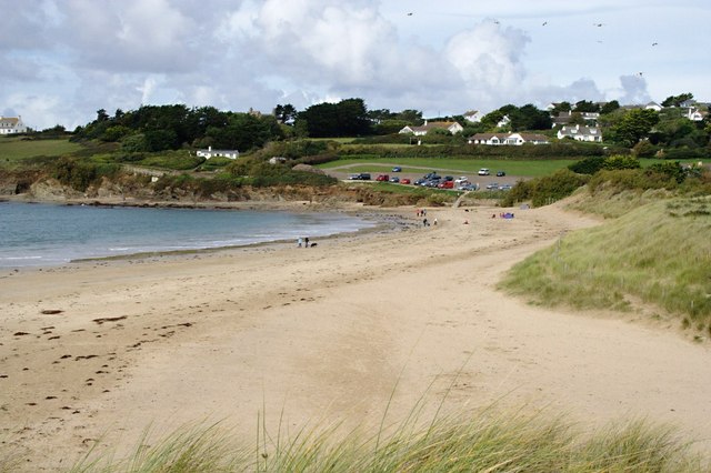
This wide sandy beach sits near the mouth of the Camel estuary opposite Padstow. It is backed by sand dunes and a golf course. Daymer Bay sits in the shelter of Braey Hill, a large grassy hump that sits between here and Rock. Tucked away in the dunes at the foot of Braey…
-
Trevone Bay (1.5 miles)

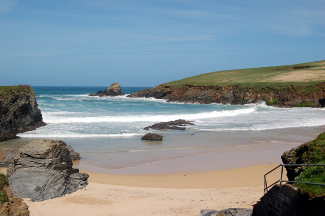
A lovely sandy beach set in a cove. It is situated in an area of great geological interest.
Greenaway Beach (2.1 miles)

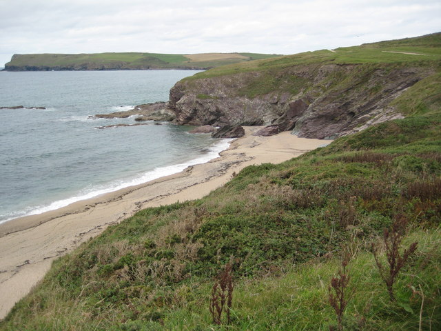
A little known cove of sand and rocks situated at Trebetherick near Polzeath. Nearly always quiet as it is largely overlooked in favour of Daymer Bay to the south or Hayle Bay and Polzeath to the north.
Polzeath Beach (2.6 miles)

Polzeath is a small seaside resort on the north coast of Cornwall, with a sandy beach that's mostly covered at high tide. Six miles north of Wadebridge, Polzeath beach is popular with both surfers and holidaymakers and can get crowded in summer. Plenty of pubs, shops, cafes and restaurants in the village.
Padstow beaches map
Map featuring Padstow beaches. Click on pins to view beach details
