Beaches in Maryport, Cumbria
- Maryport beaches map
- The beaches:
- Maryport
- Allonby
- Siddick
- Allonby
- Workington
The beach guide has 5 beaches listed in and around the town of Maryport. We have arranged these beaches in order of closest to the town first (distance in brackets).
-
Maryport Beach (0.5 miles)

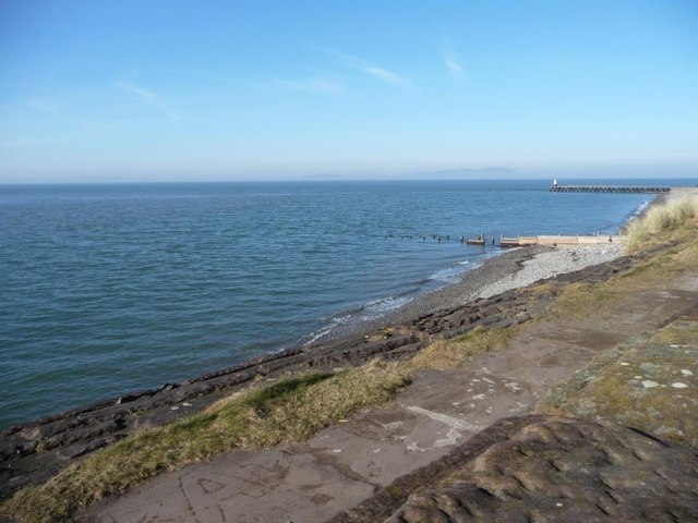
Long sand and shingle beach which runs from the harbour mouth and backs onto the marina in Maryport. From the beach here you can clearly make out the coast of Scotland 20 miles or so across the water.
-
Allonby Beach (3.3 miles)

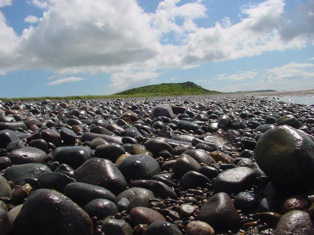
Lying in a designated Area of Outstanding Beauty, Allonby has a delightful sand and shingle beach which stretches for around 5 miles in length. From the beach there are views across the beautiful Solway Firth towards the hills of Scotland. To the East, the Lakeland fells provide a beautiful backdrop. And, on a clear day,…
-
-
Siddick Beach (3.7 miles)

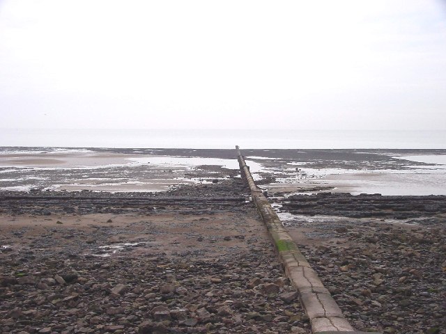
The small coastal settlement of Siddick is 2 miles north of Workington. The sand and shingle beach is quite a popular fishing spot. The railway line runs close to the beach here and significant sums have been spent on building up the sea defences around the beach to reduce the risk of flooding on the…
-
Allonby Beach (4.8 miles)

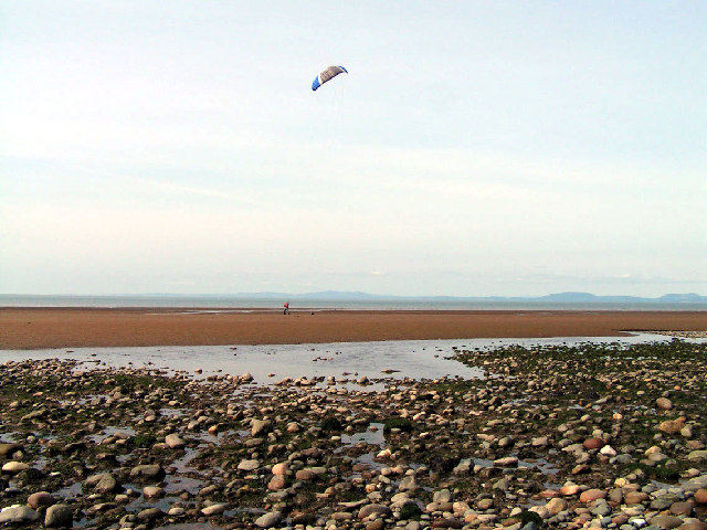
The 5-mile stretch of beach around Allonby Bay is made up of sand, shingle and pebbles along the high tide mark. At low tide a vast expanse of sand is revealed. From the beach there are attractive views across the Solway Estuary and towards the Lake District and Scottish Fells. On clear days it is…
-
Workington Beach (5.5 miles)

The coastal town of Workington has a rich industrial heritage. Just south of the mouth of the River Derwent, and the docks area, Workington Beach forms a stretch of shingle, with some sand exposed at low tide. Workington is the starting point for the Sea-to-Sea Cycle Route (C2C), a challenging ride over the Pennines to…


