Traeth Cymyran Beach (Rhosneigr) photos
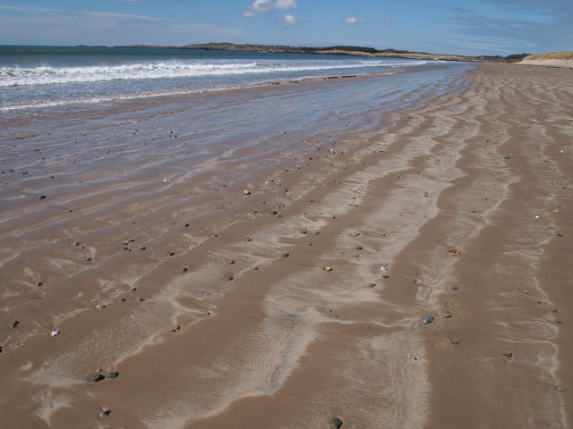
Traeth Cymyran Beach

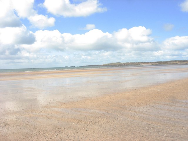
Traeth Cymyran with the coast of Holy Island in the background
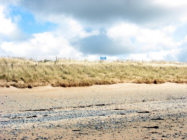
The dune line on the landward edge of Traeth Cymyran
Dune belt forming the north-western perimeter of RAF Valley
Traeth Cymyran
Bae Cymyran Bay

Boundary Fence, Traeth Cymyran

Drainage discharge from RAF Valley at Traeth Cymyran at low tide

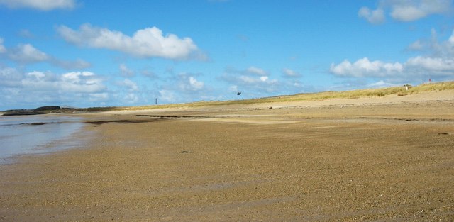
View southwards along the seaward edge of the Traeth Cymyran beach with the village of Rhosneigr in the background

Walkers on Traeth Cymyran beach

Hover over the map markers to see associated photo. Note, some markers show photographer's position whilst others show photo subject location.