Beaches in Whitstable, Kent
- Whitstable beaches map
- The beaches:
- Whitstable Beach
- Tankerton Beach
- Seasalter
The beach guide has 3 beaches listed in and around the town of Whitstable. We have arranged these beaches in order of closest to the town first (distance in brackets).
-
Whitstable Beach (0.9 miles)

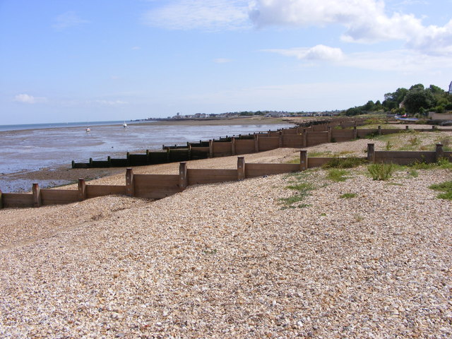
Whitstable's West Beach is a long stretch of shingle divided up by wooden groynes. It runs from just south of the town's harbour to neighbouring Seasalter, a distance of around a mile.
Despite the lack of sand Whitstable is still a fantastic spot. It represents the best of the traditional British seaside; not piers and donkey…
-
Tankerton Beach (1.1 miles)
Tankerton is an old-fashioned shingle beach with wooden groynes and pretty multi-coloured beach huts. The beach is backed by a promenade and gentle grassy slopes that are perfect for children to play on.
At low tide it is possible to walk right out to sea on a natural causeway known as 'The Street'. At this state…
Seasalter Beach (1.6 miles)
The small town of Seasalter sits just across the mouth of the River Swale from the Isle of Sheppey. It is a fairly quiet, laid back town that spills right down to the long sand and shingle beach. Seasalter beach itself is made up of a steep shingle bank held in place with a seemingly…
Whitstable beaches map
Map featuring Whitstable beaches. Click on pins to view beach details